Region: Azores
Country: Portugal
Website: http://furnas.citi.pt/index.php?ambiente=spracores
Partner in charge of the site: SPRAZORES
Responsible name: Silvia Jorge
Site characteristics
Altitude (m): 500Topography:
Orientation:
Slope (%): 0.0
Hydrology: Good drainage
South containment: 0
Soil type:
Parent rock:
PH: 5.4
Climate
Average temperature (°C): 12.5Average precipitation (mm): 2400
Reference period for climatic data: 1976-2013
History of the site
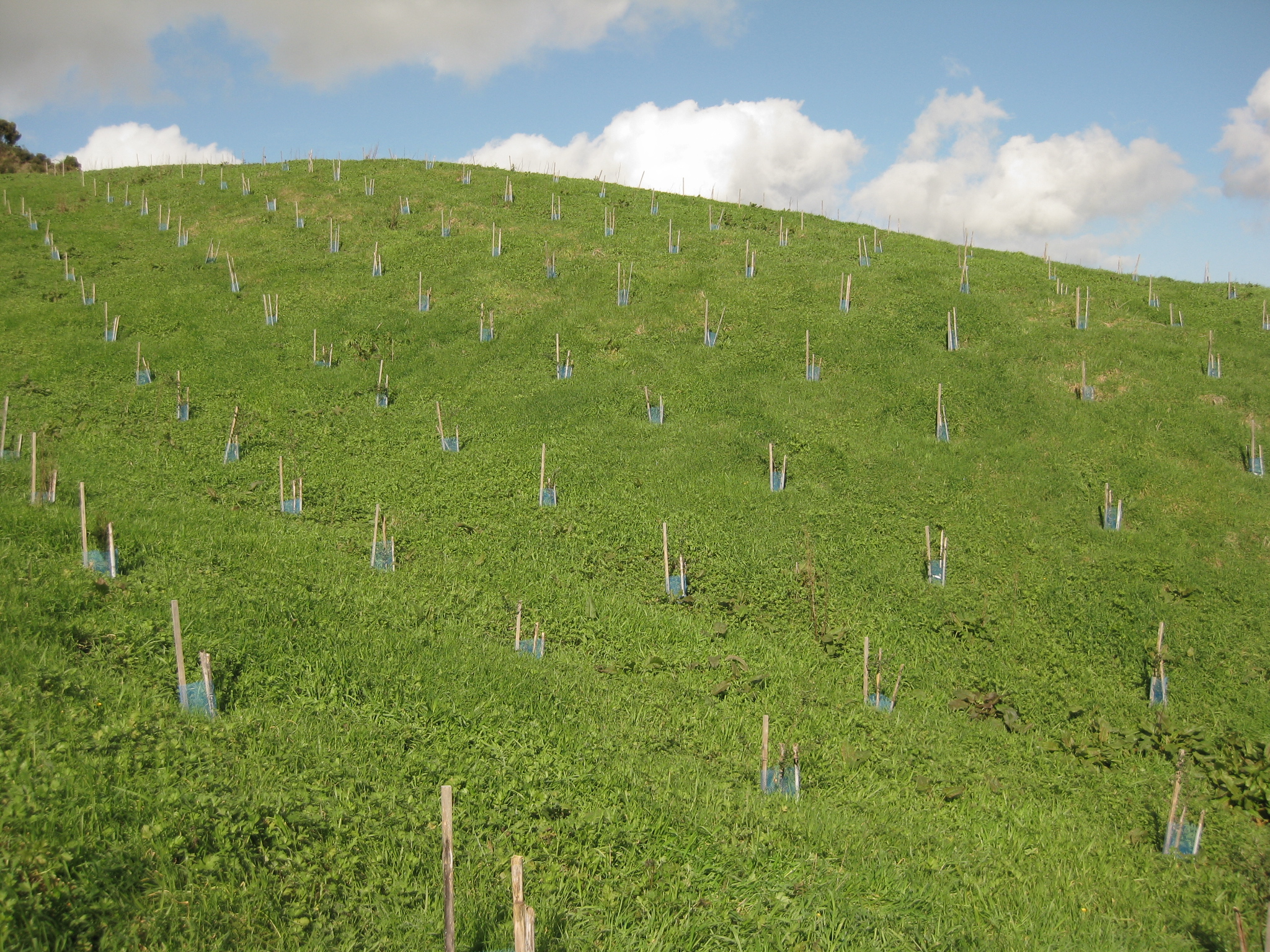
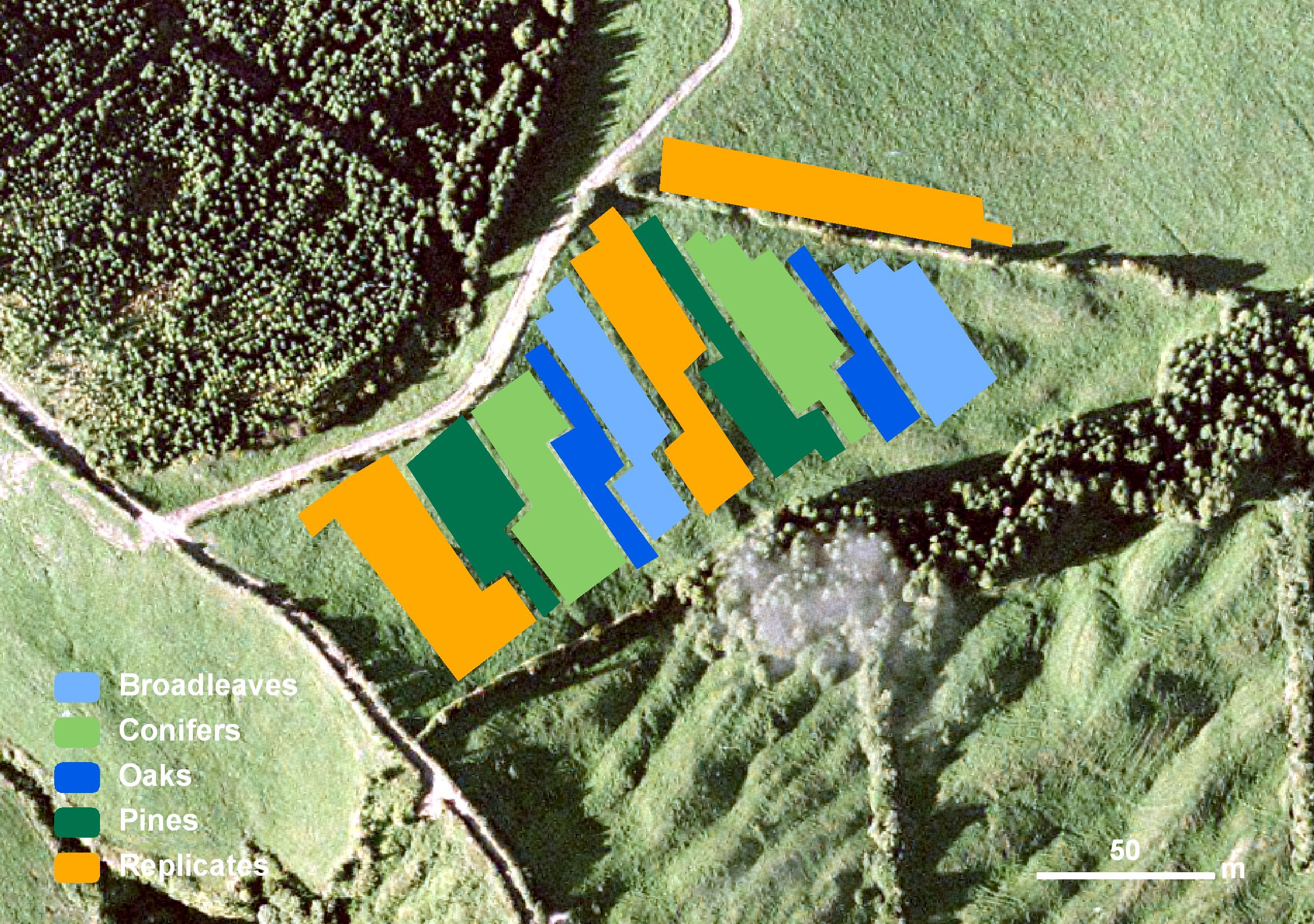
This site would initially be covered with natural forest, which was later removed for pastureland with a semi-intensive dairy farm with heavy fertilizations for the past three decades. After purchasing the area, from privates, to implement Furnas Lake watershed basin ecological restoration, cows were removed and fertilizations completely stopped. There was a control of invasive species in the center and borders of the parcel, which was rather invaded by rubus and other species (Pittosporum undulatum, Solanum mauritianum, etc…), only native species were left along the borders. This site was chosen due to its good drainage and soil type, with nutrient rich top soil and pumice stones at lower levels. It also assures an easy accessibility due to its proximity to a tarmac road. Later the pastureland was planted with the Reinfforce arboreta, therefore integrating Furnas Landscape Laboratory. Permission to make use new forestry species was conceded by the Regional Directorate for Nature Conservation, and reconfirmed by the regional director of environment.Publications related to the site
6121937
AR37
1
apa
50
default
2564
https://reinfforce2.plantedforests.org/wp-content/plugins/zotpress/
 copyrigth IEFC network