Region: Galicia
Country: Spain
Website: http://www.xunta.es/portada
Partner in charge of the site: CIF
Responsible name: Francisco Javier Silva Pando
Site characteristics
Altitude (m): 1400Topography: high slope
Orientation: NE
Slope (%): 28.0
Hydrology: High slope in the mountain chain “Serra de Ancares”, the eastern limit of Galicia, faced to the river Navia basin, with the stream “Rego do Cespedosa” flowing across the plot
Soil type: REGOSOLS
Soil sub-type:
Parent rock: acid to intermediate plutonic rocks
PH: 4.4
Climate
Average temperature (°C): 8.3Average precipitation (mm): 1144
Number of frost days: 66
Reference period for climatic data: 2000-2012
History of the site
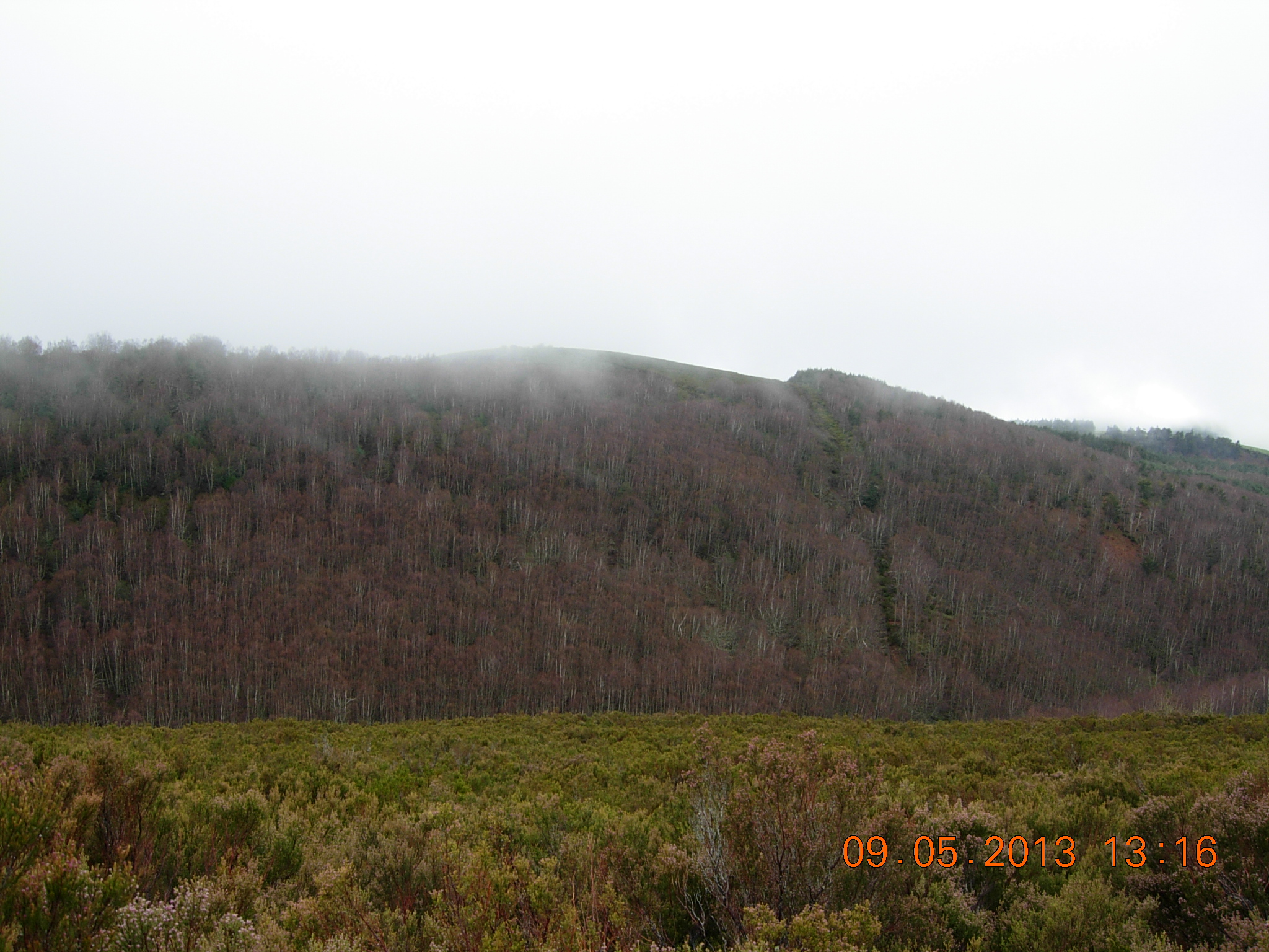
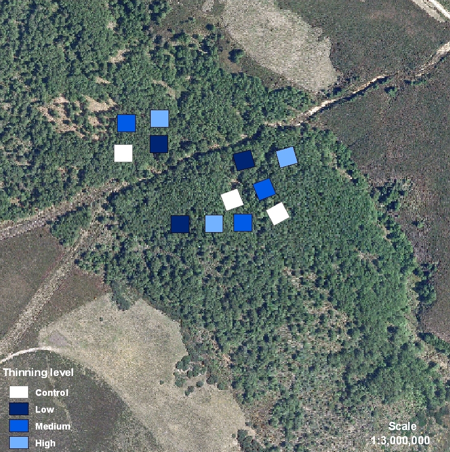
In the municipality, pastures (5% usable area) and forests (87% usable area) provide almost the total incomes for the sparse inhabitants. The traditional practice of raising cattle, mainly with bovine autochthonous races like “Rubia galega”, supplies milk and beef for their own consumption. Forest afforestations with Scots pine are placed where grasslands cannot be established. Oaks, birches, beeches and hazels make up the natural woodlands in the valleys and in the stream banks. The mountain chain “Serra de Ancares” is a protected area for conservation included in Nature 2000 net and a National Reserve for Game Hunting. Roe deer, wild boar and ibex are the most valuable species. DS09 is placed on a private land. The land is owned and managed by the Neighborhood Forest of Xunquiñas, typical of Galician culture. All the forest area belongs to a territorial demarcation, “parroquia”, which joins all the neighborhood members. Each citizen owns a percentage of the whole indivisible forest area and the management must be agreed with all the members of the community by a common consent. In Galicia, this way of forest property is called “Neighborhood Forest in Common Hand”. The stand shows an even-aged birch canopy from natural regeneration covering understory mainly with grasses and some shrubs (blackberry and heaths). Thinning treatments were applied in 2001. Tree stand characteristics before treatments were: Age (28 years) Mean DBH (8.4 cm), Dominant Height (11.1 m), Density (3477 tree/ha).Publications related to the site
6121937
DS09
1
apa
50
default
2564
https://reinfforce2.plantedforests.org/wp-content/plugins/zotpress/
 copyrigth IEFC network