Region: Aquitaine
Country: France
Website: http://www.crpfaquitaine.fr/index.php
Partner in charge of the site: IDF-CNPF
Responsible name: Amélie Castro
Site characteristics
Altitude (m): 35Topography: plateau
Orientation: FLAT
Slope (%): 1.0
Hydrology: The site is situated in the river basin of the Montaut, a small right bank tributary of the Canteloup river near its mouth in the Aureilhan lake. No stream can be found near the demonstration site which is located in a poorly drained area. the level of the water table in winter is regulated by ditch
Soil type: PODZOLS
Soil sub-type: umbric
Parent rock: eolian sands
PH: 4.5
Climate
Average temperature (°C): 13.0Average precipitation (mm): 1053
Number of frost days: 29
Reference period for climatic data: 1971-2000
History of the site
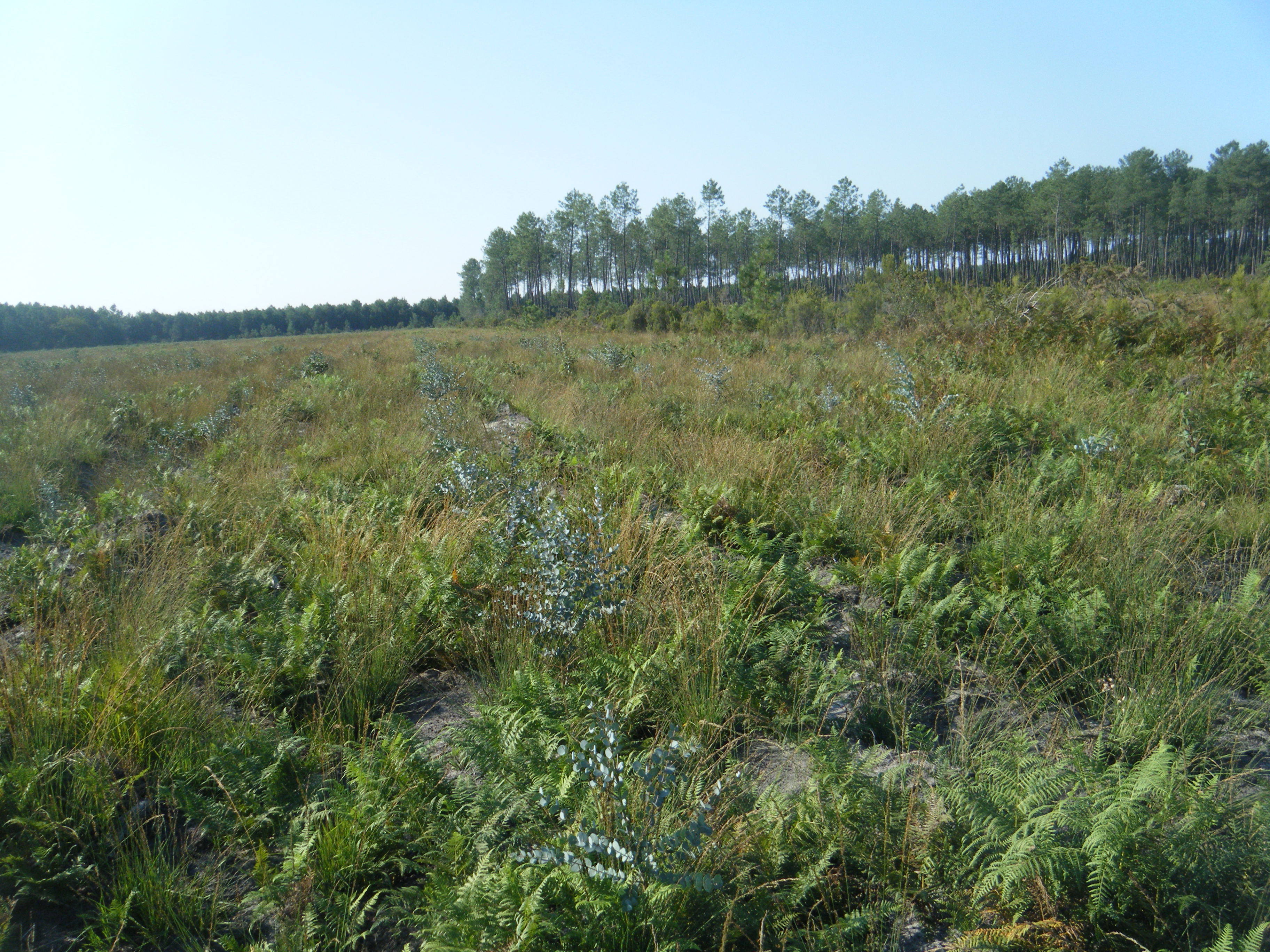
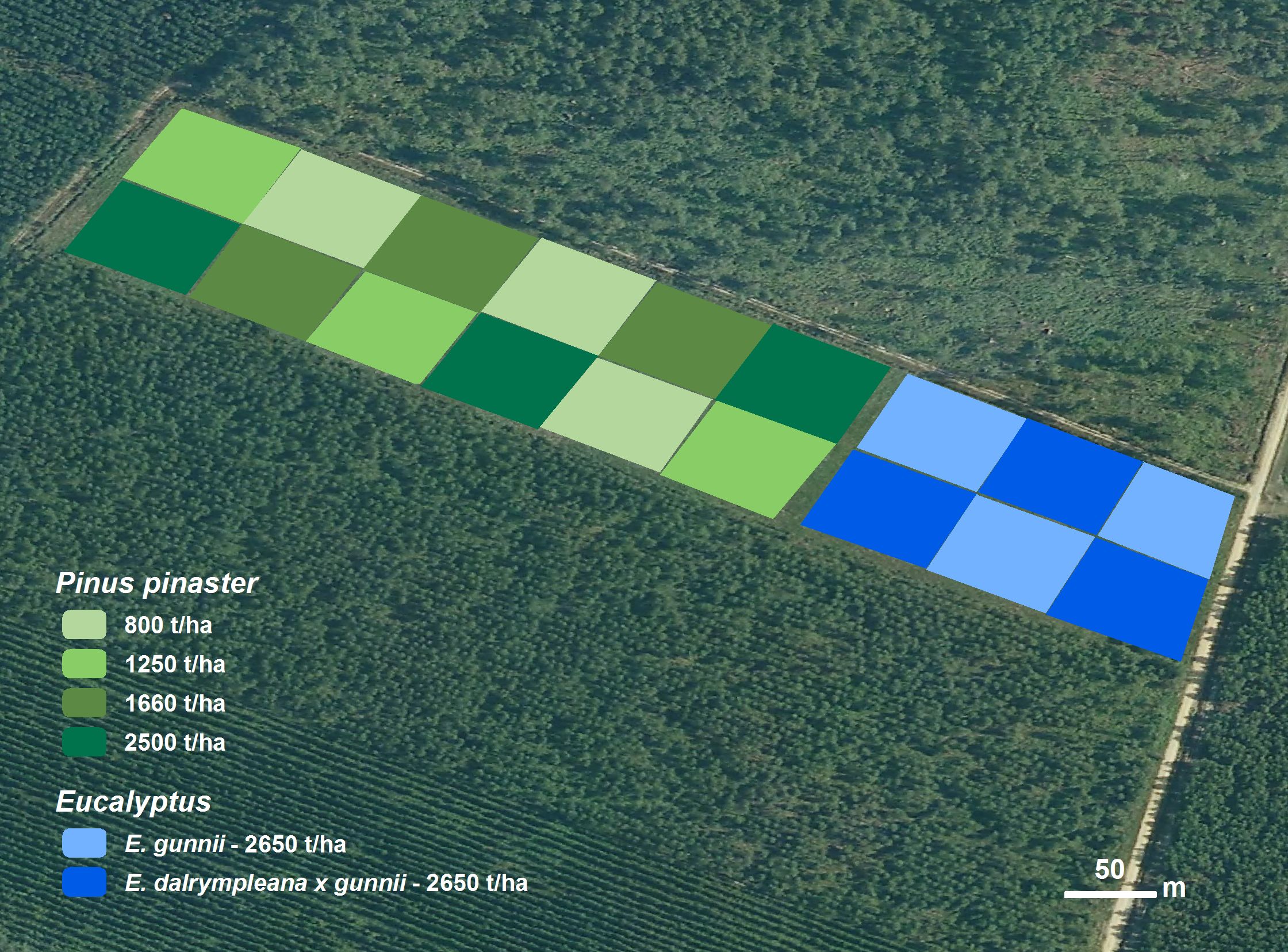
MAIN SYLVICULTURAL OPTION DEMONSTRATED : short term sylviculture in maritime pine and eucalyptus Factors of interest related to climate change in a short production cycle (25 years) with no clearing for risk limitation sensitivity to drought stand stability.STAND AND SITE DESCRIPTION Plantation of maritime pine, on a clear-cut area (3,05 ha) Plantation of Eucalyptus dalrympleana x gunnii (“Gundal”), on a clear-cut area (0,76 ha) Plantation of Eucalyptus gunnii, on a clear-cut area (0,76 ha).This demonstration site will be integrated in the GIS Pin Maritime du Futur (CRPF-CPFA, INRA, ONF, FCBA), and data shared with GIS PMF partners. Growth measurement campaigns will take place every 3 years (first height measurement will take place in autumn 2013). First survey (dead/alive) took place in spring 2012. The site will be used in information meetings organized for forest owners by CRPF-CPFA when sufficient data are available. Results will be used for technical information leaflet and papers on sylvicultural practices.Publications related to the site
6121937
DS26
1
apa
50
default
2564
https://reinfforce2.plantedforests.org/wp-content/plugins/zotpress/
 copyrigth IEFC network